The ability to locate subjects of interest accurately, quickly, and reliably is critical to law enforcement agencies (LEAs). While device-based GNSS data can satisfy the first two criteria, it is increasingly blocked by users or the device’s operating system, making it unreliable as a location intelligence source. To address this, SS8 supports LEAs with new technologies focused on enhancing traditional, network-based location information.
Today, privacy laws and regulations and user preferences mean most LEAs must depend on low-accuracy mobile network location services, which typically provide only the mobile cell location, not the location of the handset itself. Because the subject could be anywhere within the cell tower’s coverage area, the data is often not useable in investigations, potentially costing lives. In addition, Call Detail Records (CDRs) are only created when a network event such as a call, text, or data session is initiated, so the subject may have moved since the last recorded location.
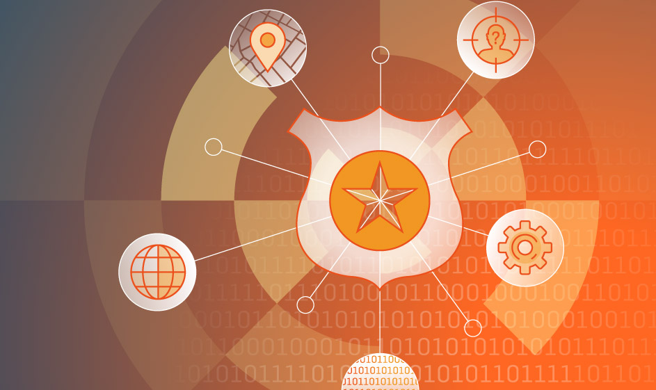
SS8’s LocationWise provides a robust, network-based location intelligence platform that draws on multiple network functions, including the GMLC, SMLC, and LMF, and does not require the subject of interest to place a call. The use of multiple network elements optimizes reliability, accuracy, and speed by cross-referencing all available data sources. The solution supports all network generations and can ingest and analyze the advanced location information from 5G networks. The following five scenarios demonstrate the critical value of high-accuracy location services to law enforcement, and how LocationWise helps LEAs investigate crimes and public safety risks.
Scenario 1: Finding Missing Persons
Every year, thousands of individuals go missing. Time is of the essence in such cases, and the absence of high-accuracy location information slows and can even halt search efforts. One major LEA reports that their dependence on cell-level location can create a search area up to 40 kilometers in diameter in rural/remote areas. Such a large search area quickly consumes time and resources and too often results in authorities being unable to find and help missing persons. High-accuracy location can shrink that area to 800 meters, allowing a more focused and efficient search and greater chances of success.
Scenario 2: Tracking Subjects in Real Time
Active investigations often require dynamic information about the locations of one or more subjects in real time to make arrests and stop potential crimes. While it may be updated in real time, cell-level location’s wide search area prevents robust tracking of a target. Even in densely populated urban centers with relatively small cell areas of perhaps 500 meters, this lack of granularity makes it nearly impossible to follow the movements of a single user among hundreds or even thousands of devices. With the benefit of high-accuracy, sub-cell location data, investigators can tell what block a subject is on, for example.
Scenario 3: SIM Swapping and SIM Factory Locations
Criminals may swap SIM cards before and after committing crimes to avoid being identified and located. Some criminal groups create “SIM factories” to amass 100s of pay-as-you-go SIMs (or to clone eSIMS) then bring them online at once. High-accuracy passive network location uses bulk collection to help LEAs detect large numbers of SIM activations in a specific area and shut down these criminal enterprises.
Scenario 4: Mapping Criminal Relationships
Knowing when, where, how often, and for how long subjects of interest meet is a valuable means of defining the relationships between individuals. Over time, these patterns of association can expand the scope of investigations or reveal significant information about a criminal enterprise. For example, when multiple subjects of interest meet repeatedly with a single individual, it may help identify a new leader within the organization. Multiple meetings of subjects of interest in a single location can also reveal criminal operating centers or stash houses. In regions without an integrated CCTV system, knowing the location of potential criminal activity can help investigators identify which of potentially many cameras may contain video footage to use as evidence. The lack of granularity in CDR-based location data makes it difficult for law enforcement to identify such associations.
Scenario 5: Geofencing and Area Analytics
Geofencing makes it possible to monitor devices entering and leaving a specific geographic area. In near real-time, this helps LEAs identify when people approach or congregate near a restricted area such as a crime scene or the site of a potential terrorist attack. Retrospectively, geofencing can be used to investigate who was present before, during, and after an event, as well as if any subjects returned there later. This can be useful in identifying witnesses as well as potential suspects. SS8’s high-accuracy network location solution includes flexible tools that allows investigators to draw shapes around regions of interest to define a geofence, helping save lives in the process.
About Michael Gebretsadik
 Michael has worked in the telecommunication industry for the better part of two decades, in roles ranging from engineering to product management, and business development. He has been involved with location technology since 2003, when he joined SnapTrack (a Qualcomm subsidiary). Prior to joining SS8 in 2020, Michael was responsible for growing the global Location-Based Services business for Comtech Telecommunications through channel partners and IoT OEMs. You can learn more about Michael on his LinkedIn profile.
About Stuart Walsh

Stuart Walsh is a consultative technical sales leader with over 25 years of experience helping customers deliver solutions for success. As the leader in the solution engineering division at SS8 Networks, Stuart is passionate about introducing next generation solutions and services to network operators and intelligence agencies and driving business growth. Stuart also has a depth experience in voice and data applications for both Enterprise and Service Provider customers. You can view his LinkedIn profile here.
About SS8 Networks
As a leader in Lawful and Location Intelligence, SS8 helps make societies safer. Our commitment is to extract, analyze, and visualize the critical intelligence that gives law enforcement, intelligence agencies, and emergency services the real-time insights that help save lives. Our high performance, flexible, and future-proof solutions also enable mobile network operators to achieve regulatory compliance with minimum disruption, time, and cost. SS8 is trusted by the largest government agencies, communications providers, and systems integrators globally.
Intellego® XT monitoring and data analytics portfolio is optimized for Law Enforcement Agencies to capture, analyze, and visualize complex data sets for real-time investigative intelligence.
LocationWise delivers the highest audited network location accuracy worldwide, providing active and passive location intelligence for emergency services, law enforcement, and mobile network operators.
Xcipio® mediation platform meets the demands of lawful intercept in any network type and provides the ability to transcode (convert) between lawful intercept handover versions and standard families.
To learn more, contact us at info@ss8.com.