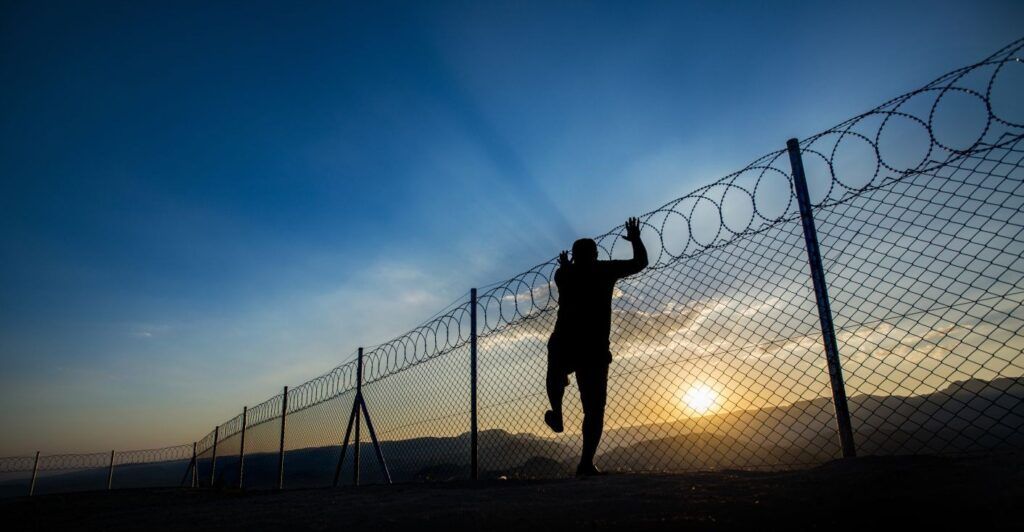
Preventing illegal migration, human trafficking, narcotics smuggling, and other illicit activities present a daunting task for those agencies responsible for securing a country’s borders. The United States, for example, has a 1,954 mile border with Mexico and a 5,525 mile border with Canada. And those borders are expansive frontiers, marked by deserts, mountains, forests, rivers, and lakes.
Traditional surveillance techniques (such as video or radar), while powerful, struggle with scale and adaptability. Surveillance towers require placement at regular distances to provide coverage and each tower is estimated to cost $1 million. Such towers provide a presence which may dissuade some but are also vulnerable to sabotage. When talking of borders measured in thousands of miles, the costs are prohibitive. And, as migrants and criminal traffickers learn of the tower placements, they will naturally adjust their routes. Lastly, surveillance towers tend to be permanent, making it difficult to adapt to changing routes and patterns.
An alternative to blanketing a country’s entire border using video and radar is to focus on high-traffic hotspots. Such hotspots account for a large percentage of illegal crossings, but leave a great deal of the border unmonitored and open for narcotics smuggling, human trafficking, and other illicit activities. Regardless of whether an agency follows the blanket or hot-spot approach, the reality is that operators face cognitive overload from monitoring endless video, introducing more misses and false positives. Hiring more personnel is not a viable fix to the problem.
Computer vision, a field of artificial intelligence (AI) and a branch of machine learning (ML) is seen as a game-changer in many industries, including border protection. The hopes are that applying computer vision to the above problems (and many more facing border agencies) will result in greater efficiency and effectiveness. Applying computer vision to surveillance translates to more feeds monitored with higher accuracy and fewer false positives. However, that higher accuracy and fewer false positives come with an incredibly high price in the form of up-front and operational costs.
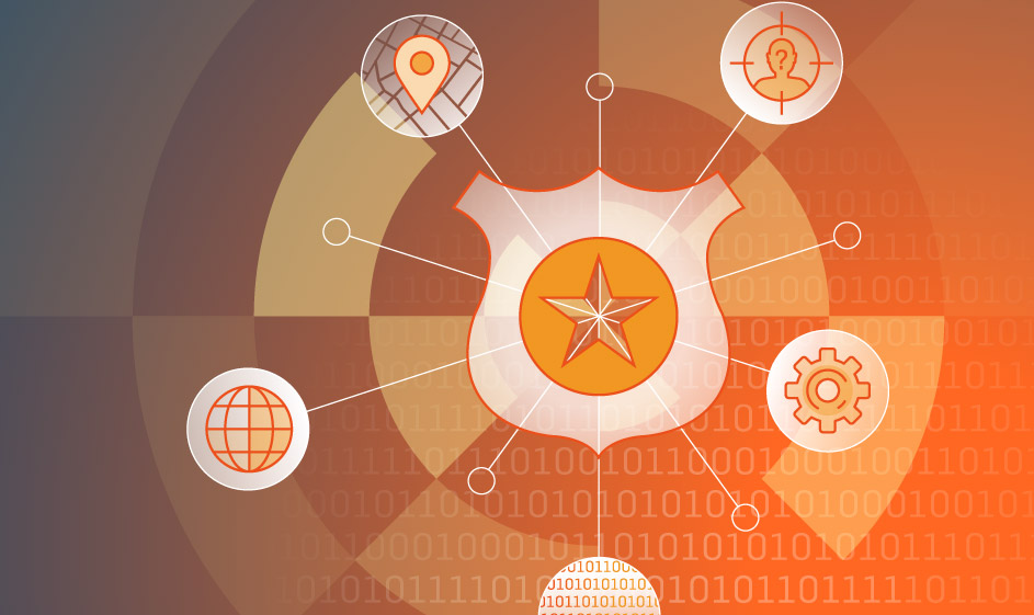
How can agencies that are tasked with protecting nations’ borders accomplish their mission without breaking the bank? SS8 has the answer in our location intelligence platform – a game-changing solution that leverages geolocation to enhance border security, cut costs, and close surveillance gaps.
Enter SS8 Location Analytics
SS8’s Location Analytics use cellular signals to track threats long before they reach the border. SS8 delivers high-accuracy, network-based positioning across 2G to 5G networks, pinpointing devices within meters in urban areas. SS8 provides real-time mapping and “pattern of life” analysis, correlating data from communication providers, IoT devices, and more to reveal smuggling routes, safehouses, and tunnels. By triggering alerts when devices cross geofenced smuggling corridors, SS8 ensures computer vision is focused on real threats, not empty landscapes.
This approach dramatically reduces costs. Blanketing a nation’s border with surveillance towers is a budget-killer, but SS8’s cellular positioning slashes upfront and annual operational costs by over 80%, saving billions of dollars. Even in hotspot-focused strategies, SS8 can save over 70% on upfront and operational costs. SS8 achieves this by using real-time geolocation positioning and analysis to minimize the camera feeds on which computer vision is performed. Fewer feeds translates to dramatically lower AI-related costs both up-front and annually.
SS8’s Location Intelligence also solves the adaptability problem. Unlike fixed surveillance towers, our solution operates independently. SS8’s Location Intelligence continues to provide coverage when surveillance towers are sabotaged or not operational. SS8 can extend that coverage to the vast, unmonitored border stretches while resources are focused on high-traffic hotspots. When a smuggler’s device enters a geofence, agents receive precise coordinates, enabling rapid response. Historical and predictive analytics further identify patterns, such as staging areas or coordinated crossings, preempting threats. And, that visibility continues over a border, providing agencies time to take action.
By integrating SS8 Location Analytics with computer vision and feeds from surveillance towers, agencies can transform the border into a proactive shield, saving lives and communities. Ready to explore how SS8 Location Analytics can strengthen border security? Read the full whitepaper and contact SS8 today to learn more.
About Kevin McTiernan

Kevin McTiernan is a seasoned professional with over 20 years of experience in the security industry. His extensive expertise spans big data, cybersecurity, network security analysis, and regulatory compliance. As Vice President of Government Solutions at SS8, Kevin specializes in the implementation of advanced intelligence solutions for the U.S. Government, law enforcement, and the Five Eyes alliance. He is an accomplished public speaker and an adamant supporter and volunteer for the National Child Protection Task Force. You can learn more about Kevin on his LinkedIn profile.
About SS8 Networks
As a leader in Lawful and Location Intelligence, SS8 is committed to making societies safer. Our mission is to extract, analyze, and visualize critical intelligence, providing real-time insights that help save lives. With 25 years of expertise, SS8 is a trusted partner of the world’s largest government agencies and communication providers, consistently remaining at the forefront of innovation.
Intellego® XT monitoring and data analytics portfolio is optimized for Law Enforcement Agencies to capture, analyze, and visualize complex data sets for real-time investigative intelligence.
LocationWise delivers the highest audited network location accuracy worldwide, providing active and passive location intelligence for emergency services, law enforcement, and mobile network operators.
Xcipio® mediation platform meets the demands of lawful intercept in any network type and provides the ability to transcode (convert) between lawful intercept handover versions and standard families.
To learn more, contact us at info@SS8.com.