We attended the 2013 Esri International User Conference, held July 8-12 in San Diego, CA, and it was quite an experience. Esri is a dedicated team of hard working individuals who clearly love what they do. We could feel the positive energy from them and their customers while on the show floor. And the amount of floor space and sessions they dedicate to law enforcement and intelligence proves these customers are similarly important to them.
The creativity for what you can do with mapping is amazing. When you stop to think just how much location data is at our disposal – from Call Detail Records (CDRs) to GPS location data from numerous sources and more – the opportunities for visualizing and correlating multiple sources of location data are limitless.
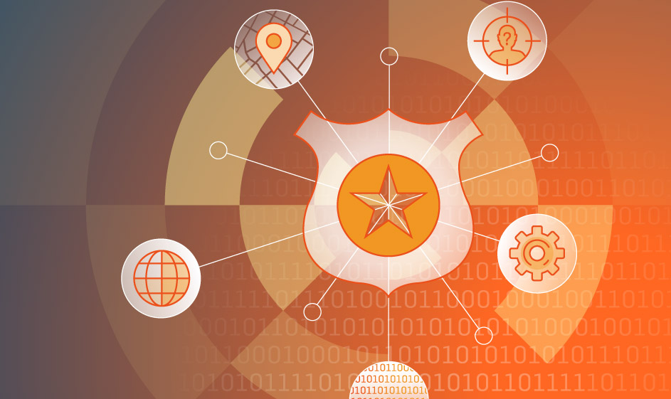
For example, imagine honing in on a suspect who uses a cellphone, tweets, and sends emails. Seems more likely than ever. You can correlate the locations of your suspect’s voice intercepts or cellphone pings from the Service Provider, locate his tweets if he has Twitter location enabled, if disabled then default to his IP address location at the time of his tweets, and then do the same whenever he sends an email or otherwise uses the internet. You can use these locations to find him in real-time, to send your investigator or analyst alert when he enters a geo-fenced location of interest to you in the investigation, or trace back his locations to vet his alibi or confirm his whereabouts at any given time.
What are you doing to leverage this list of potential sources of location data in your current intelligence analysis and investigations?
- Voice intercept
- Call Detail Records with Lat/Long coordinates
- Cellphone Tower location pings
- Tweets
- IP addresses
- Portable magnetic GPS trackers
- Parole/Probation Ankle Monitoring GPS devices
- EXIF data with GPS coordinates from collected pictures
- Automated License Plate Recognition (ALPR) capture GPS coordinates
- Pole camera GPS coordinates
Whether used for parolees, individual suspects, or criminal organization movements, you can track, correlate and geofence data to trigger the most relevant locations and enhance your intelligence insights.
—
SS8 Marketing
About SS8 Networks
SS8 provides Lawful Intelligence platforms. They work closely with leading intelligence agencies, communication providers, law enforcement agencies and standards bodies and their technology incorporates the methodologies discussed in this blog. Xcipio® is already proven to meet the very high demands of 5G and provides the ability to transcode (convert) between lawful intercept handover versions and standard families. Intellego® XT natively supports ETSI, 3GPP and CALEA handovers, as well as national variants. Intellego XT’s MetaHub component is a best-in-class data analytics tool. Both product portfolios are used worldwide for the capture, analysis and delivery of data for the purposes of criminal investigations.